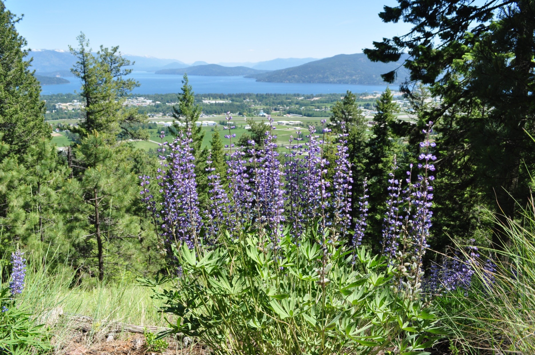
One of the closest and nicest hikes adjacent to Sandpoint, the Mickinnick is a challenging trail that rises more than 2,000 feet in its 3.5-mile length to the topmost overlook – meaning, a round-trip hike is a fairly strenuous 7 miles. But even if you don’t make it to the top, there are expansive viewpoints at several spots along the way.
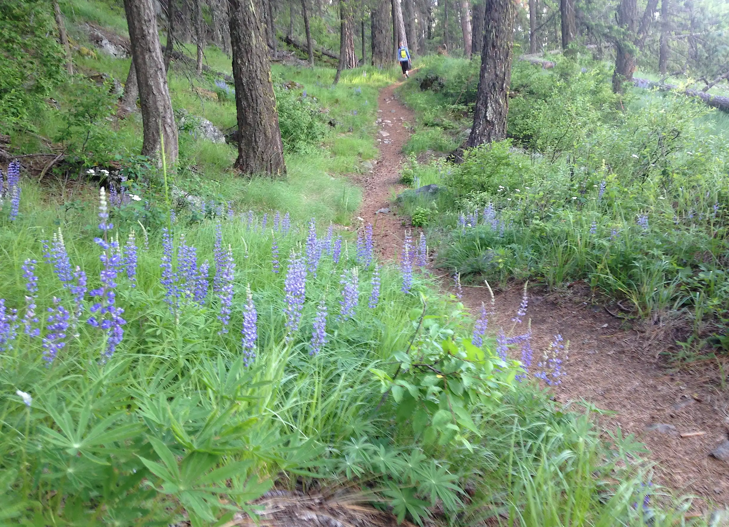
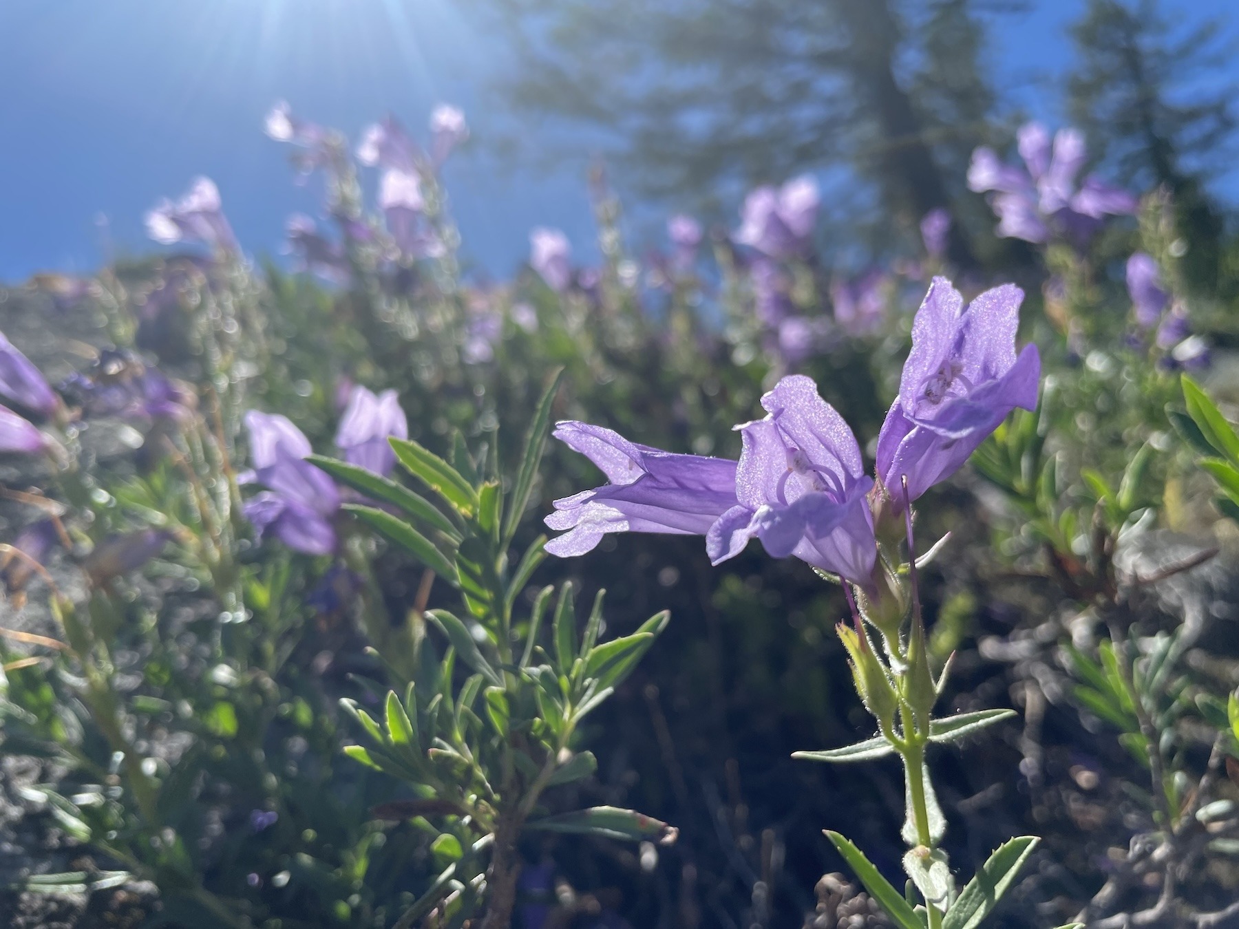
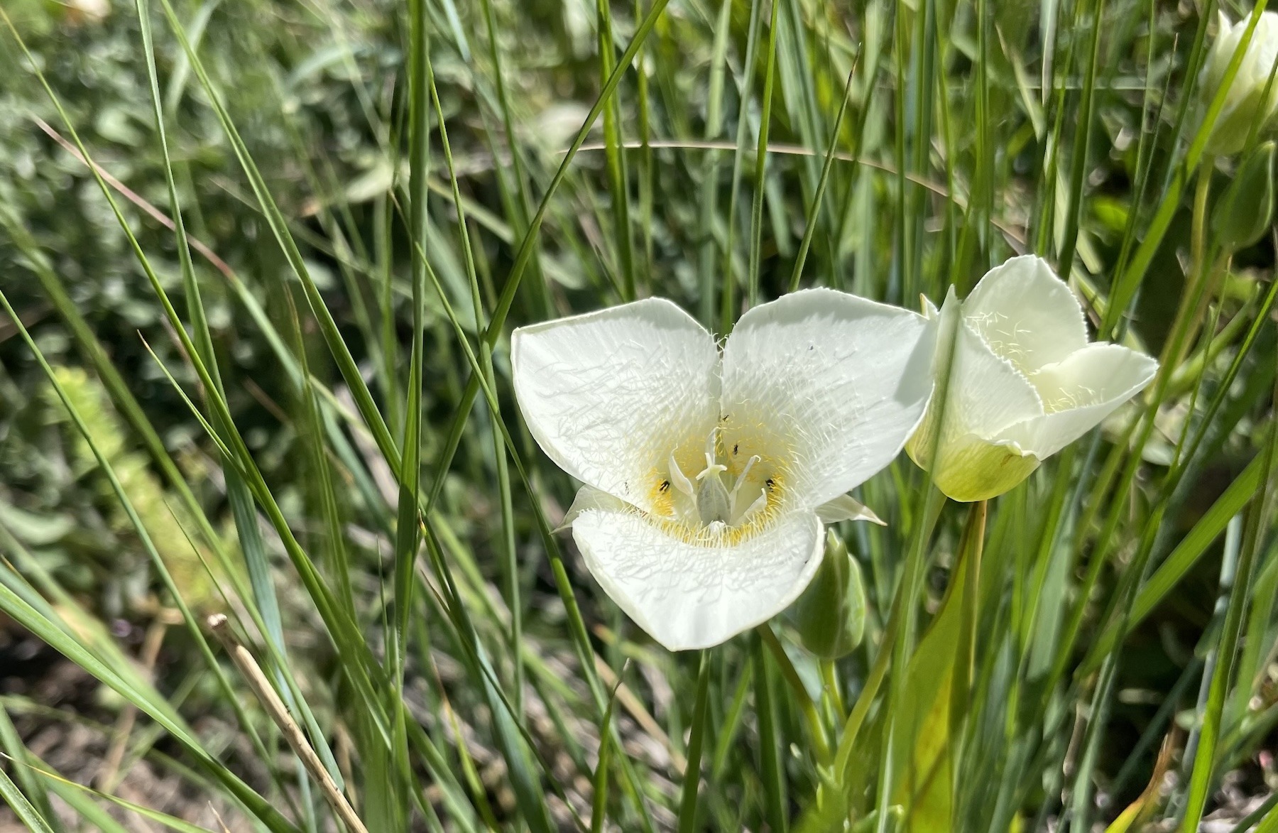
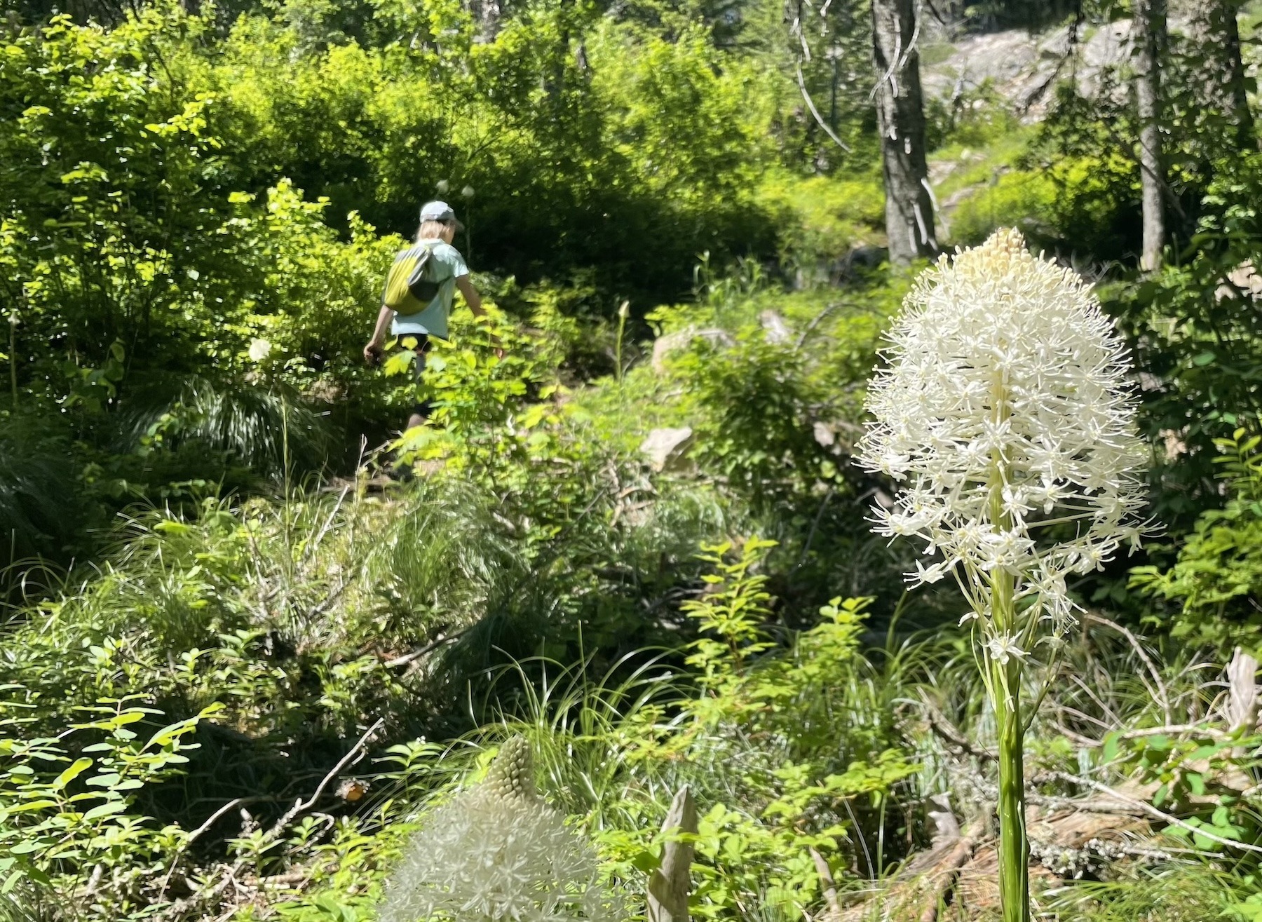
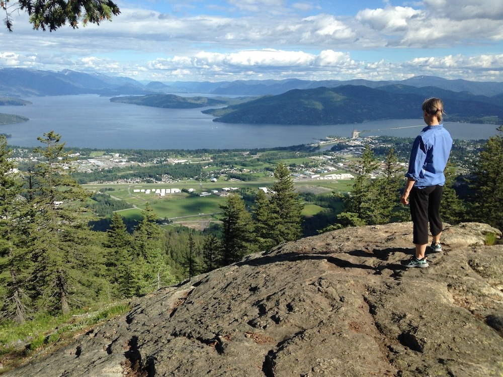
The trail wends trough big granite features amid open forests and, in spring and early summer, profuse displays of many different kinds of wildflowers. On warm summer days, the east-facing aspect of the trail makes it more user-friendly in the afternoon. The trail ends on a rocky knob commanding a view of Sandpoint, the Long Bridge, the Cabinet Mountains and Lake Pend Oreille. Use the Google map to navigate to the trailhead parking, at roughly 400 Woodland Drive, or click to the Forest Service map and elevation profile.
Trail particulars: To get to the trailhead from Sandpoint, take Highway 95 north 1.3 miles to Schweitzer Cutoff Road; turn left and go a half mile; turn right and go less than a mile to turn left on Schweitzer Mountain Road (at Schweitzer Sign); go one-half mile to Woodland Drive; turn left and go 0.7 miles. The trailhead parking, with pit toilet, water and map, is on the right.